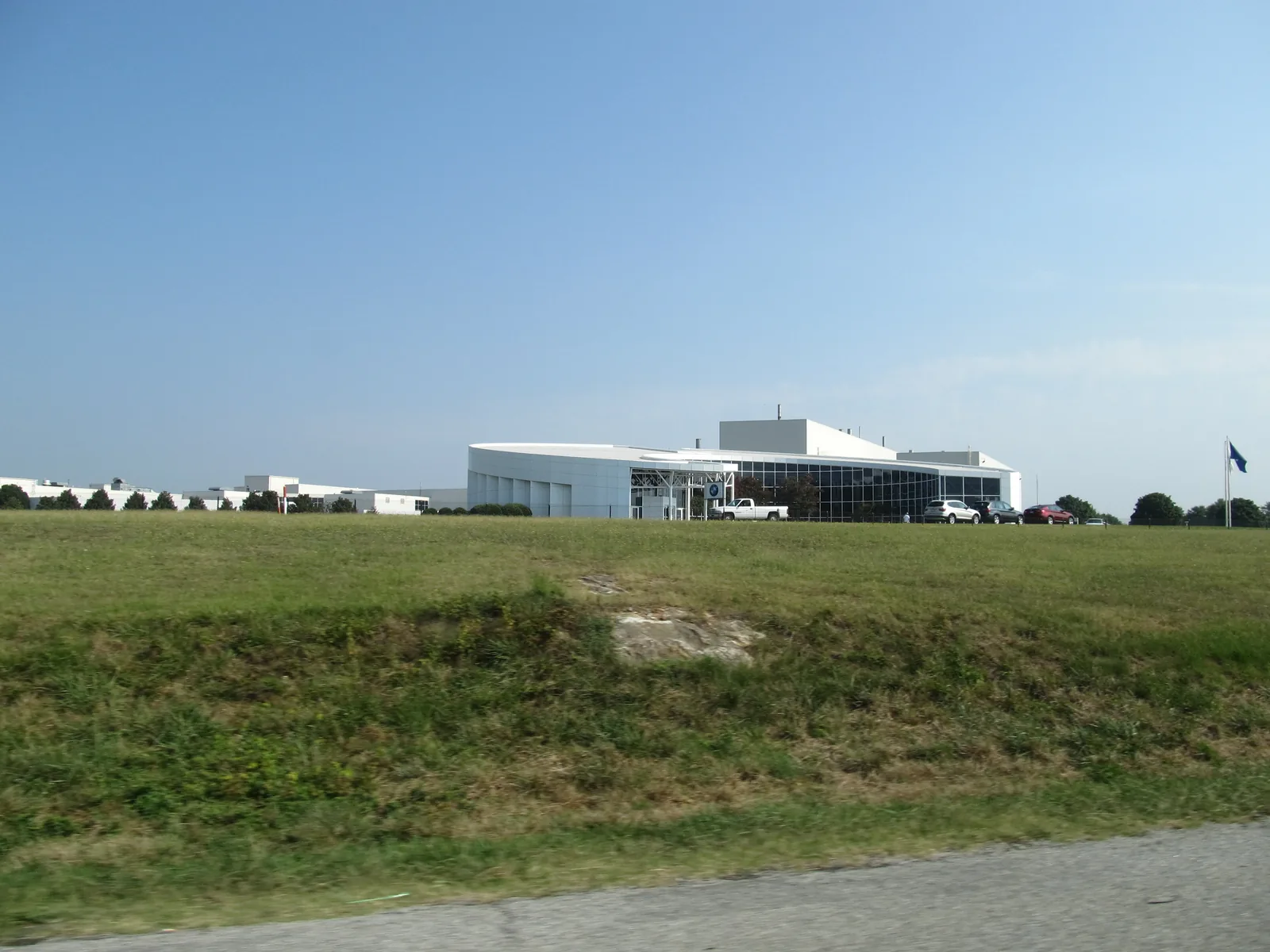
Greer's Abner Creek and Highway 101 South area, south of I-85 in Spartanburg County, is zoned for Abner Creek Academy, Abner Creek Middle and Byrnes High.
Last checked Oct. 16, 2026. Sources: the City of Greer’s GIS map service (city limits, address points and major thoroughfares), the city’s 2025 comprehensive plan update (PDF), Spartanburg District 5’s attendance lines map, the state’s 2025 school report cards, Zillow Research and OpenStreetMap.
Greer’s city limits run south of I-85 into Spartanburg County on both sides of SC 101. This is the part of Greer between Abner Creek Road and Highway 101 South, near the BMW plant, and it is the one area of the city where every home we checked is in Spartanburg School District 5, not Greenville County Schools.
What this means for you
- Zoned high school: James F. Byrnes High in Duncan, with Abner Creek Academy and Abner Creek Middle. Check an address on District 5’s attendance lines map.
- Home value: $336,521 in ZIP 29651 in September 2026, according to the Zillow Home Value Index.
- Nearest interstate exit: I-85 Exit 60, SC 101, about 3.8 miles by road.
Part of our Greer neighborhoods guide.
Where it is
The city does not draw neighborhood boundaries. On this page the area means the residential addresses inside Greer’s city limits that lie south of I-85 and east of the Brockman McClimon Road and Abner Creek Road corner, out to the city line past SC 101. The city’s address file has about 1,175 residential addresses there, all in Spartanburg County.
It has two clusters. The western one, around Ralston Road, Mayfield Crossing Lane and Liberty Hill Road, sits near Abner Creek Road. The eastern one, around Foxbank Circle, Embark Circle, Bucklebury Road and Tannery Drive, is off Highway 101 South. Most addresses are single-family homes, with some attached homes and vacant lots still on the books.
Most homes use ZIP code 29651; about 90 in the Abner Creek Road cluster use 29334, according to the city’s address file. The mailing address does not change the fact that these homes are inside Greer’s city limits.
The city’s comprehensive plan update, adopted in 2025, names the districts south of I-85 as the part of the city where growth will be hardest to manage, because “residential neighborhoods and manufacturing centers continue to develop in close proximity to one another.” It says the BMW plant and the area along Highway 101 south of I-85 are served by Greer CPW’s Maple Creek wastewater plant, expanded in 2021.
Schools
We matched every residential address in the area to District 5’s attendance zone map on Oct. 16, 2026. All of them fell in the same zones. Ratings are the overall ratings on the 2025 state report cards (the 2024-25 school year), on a scale of Excellent, Good, Average, Below Average and Unsatisfactory.
| Level | School | Share of addresses | 2025 rating |
|---|---|---|---|
| High | James F. Byrnes High, 150 E. Main St., Duncan | 100% | Good |
| Middle | Abner Creek Middle, 221 Gin House Road, Greer | 100% | Good |
| Elementary | Abner Creek Academy, 2050 Abner Creek Road, Duncan | 100% | Average |
Ninth graders in District 5 go to the James F. Byrnes Freshman Academy, 100 Rowe St., Duncan, according to the district’s map. The city’s plan notes that Abner Creek Middle opened for the 2024-25 school year. More in our schools guide.
Home values
The typical home value in ZIP 29651 was $336,521 in September 2026, up 1.57% from $331,307 in September 2025, according to the Zillow Home Value Index. The index is a modeled typical value for the middle third of homes, not a sale price, and ZIP 29651 covers most of eastern and northern Greer, not just this area. The citywide figure was $349,020, up 1.15% on the year. More in our home prices guide.
Parks and trails
Neither the city’s parks list nor OpenStreetMap shows a public park inside this area. The nearest city parks and the Greer CPW lakes are in our parks guide.
Getting around
- Interstate: I-85 Exit 60, SC 101, about 3.8 miles by road from the middle of the area; Exit 58, Brockman McClimon Road, about 5 miles. Exit numbers are from OpenStreetMap.
- Downtown Greer: about 8.6 miles by road to City Hall, 301 E. Poinsett St.
- Airport: about 8 miles by road to the terminal at Greenville-Spartanburg International Airport. Both are distances measured on the OpenStreetMap road network with the OSRM routing engine, not drive times.
More in our getting around guide.
Groceries and everyday stores
OpenStreetMap shows no supermarket or pharmacy inside the area.
How we drew this area
The name comes from Abner Creek Road and District 5’s Abner Creek schools; Highway 101 South is the city’s own name for SC 101 on its thoroughfare map. The edges follow I-85, the city limits and the gap in homes east of Brockman McClimon Road. School zones come from every residential address point in the city’s file inside those edges, matched to District 5’s map. Store locations are © OpenStreetMap contributors.
Frequently asked questions
What schools serve Abner Creek in Greer?
Every residential address we checked in the area is zoned for Abner Creek Academy (rated Average on the 2025 state report card), Abner Creek Middle (Good) and James F. Byrnes High (Good), all in Spartanburg School District 5.
Is Abner Creek in Greenville County or Spartanburg County?
Spartanburg County. The Greer addresses in this area are all on the Spartanburg County side, so Spartanburg County bills their property taxes.
Is Abner Creek a good place to live?
Here are the facts. It is a mostly single-family area of Greer south of I-85, about 3.8 miles by road from Exit 60. It is zoned for Byrnes High, rated Good for 2025, and the typical home value in ZIP 29651 was $336,521 in September 2026, according to Zillow.
How far is Abner Creek from GSP airport?
About 8 miles by road from the middle of the area to the GSP terminal, measured on the OpenStreetMap road network. That is a distance, not a drive time.
Have your say