Greer's Suber Road area, west of downtown in Greenville County, is in ZIP 29650 and mostly zoned for Greer Middle and Greer High.
Last checked Oct. 16, 2026. Sources: the City of Greer’s GIS map service (city limits, address points and major thoroughfares), its parks page and 2025 comprehensive plan update (PDF), Greenville County Schools’ Find Your School, the state’s 2025 school report cards, Zillow Research and OpenStreetMap.
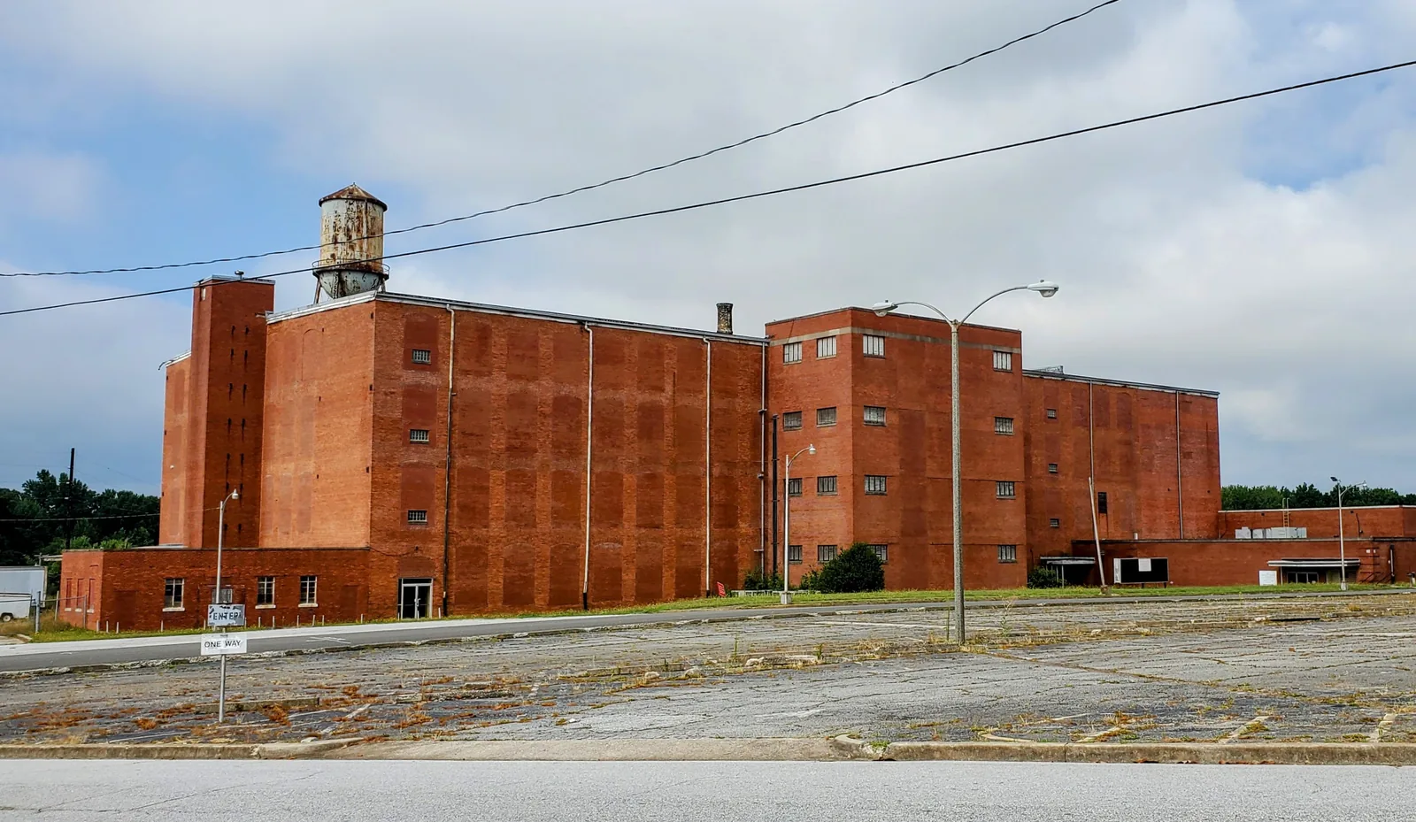
West of downtown, the Greenville County side of Greer fills in along North and South Suber Road, from Wade Hampton Boulevard down to Brushy Creek Road. It runs from older streets near the historic Greer Mill out to newer streets on the west side, with Kids Planet at Century Park on its east side.
What this means for you
- Zoned high school: Greer High for most addresses, with Greer Middle and Chandler Creek or Taylors Elementary; Riverside High in the southwest corner. Check an address in Find Your School.
- Home value: $369,431 in ZIP 29650 in September 2026, according to the Zillow Home Value Index.
- Nearest interstate exit: I-85 Exit 56, SC 14, about 4.6 miles by road.
Part of our Greer neighborhoods guide.
Where it is
The city does not draw neighborhood boundaries. On this page the Suber Road area means the residential addresses inside Greer’s city limits west of Main Street and downtown, south of Poinsett Street (SC 290) and Wade Hampton Boulevard (US 29), and north of Brushy Creek Road. The main roads through it are North and South Suber Road and South Buncombe Road. OpenStreetMap places a spot called Suber at its west edge.
The city’s address file has about 2,700 residential addresses there, all in Greenville County and in ZIP code 29650. Most are single-family homes. The older streets near downtown include Connecticut Avenue, Pennsylvania Avenue, Beverly Lane and Vassar Drive; farther west are newer streets such as Elizabeth Sarah Boulevard, Crescent Park Lane, Hartwood Lake Lane, Avalon Chase Circle and Mendham Lane.
The city’s comprehensive plan update says more apartments are under construction at the historic Greer Mill, and that the fire department opened Station 42 at the corner of South Suber Road and Chick Springs in fall 2024. It says the state Department of Transportation will add safety improvements at that intersection, and that the city closed its Hood Road fire station in 2025 to build a public safety training center there with an indoor firing range and a fire training tower.
Schools
We checked 46 residential addresses across the area in Greenville County Schools’ Find Your School tool on Oct. 16, 2026; it matched 44 to an exact address. Ratings are the overall ratings on the 2025 state report cards (the 2024-25 school year), on a scale of Excellent, Good, Average, Below Average and Unsatisfactory.
| Level | School | Addresses matched | 2025 rating |
|---|---|---|---|
| High | Greer High, 3000 E. Gap Creek Road | 40 of 44 | Good |
| High | Riverside High, 794 Hammett Bridge Road | 4 of 44 | Excellent |
| Middle | Greer Middle, 3032 E. Gap Creek Road | 40 of 44 | Good |
| Middle | Northwood Middle, 710 Ike’s Road, Taylors | 4 of 44 | Excellent |
| Elementary | Chandler Creek Elementary, 301 Chandler Road | 26 of 44 | Average |
| Elementary | Taylors Elementary, 809 Reid School Road, Taylors | 14 of 44 | Good |
| Elementary | Brushy Creek Elementary, 1344 Brushy Creek Road, Taylors | 4 of 44 | Excellent |
The lines follow geography. Chandler Creek addresses were the eastern streets nearer downtown, such as Beverly Lane, Bent Creek Drive and Buncombe Road; Taylors Elementary addresses were the western streets, such as Elizabeth Sarah Boulevard, Crescent Park Lane, Mendham Lane and Margie Road; the four Brushy Creek, Northwood and Riverside addresses were in the southwest corner, on Bienville Place, Carrollton Court and Courtyard Court. More in our schools guide.
Home values
The typical home value in ZIP 29650 was $369,431 in September 2026, up 0.65% from $367,029 in September 2025, according to the Zillow Home Value Index. The index is a modeled typical value for the middle third of homes, not a sale price, and ZIP 29650 covers most of western Greer. The citywide figure was $349,020, up 1.15% on the year. More in our home prices guide.
Parks and trails
From the city’s parks page:
- Benson Automotive Kids Planet at Century Park, 3605 Brushy Creek Road: opened in 2021, with zip lines, hillside slides, fenced play areas by age and paved walking trails with exercise stations, open 7 a.m. to dusk daily and closed 7 a.m. to noon Wednesdays for maintenance. An 18-hole disc golf course loops around it and the Century Park ballfields, which have three baseball and softball diamonds.
- Suber Road Soccer Complex, 305 S. Suber Road: three soccer fields.
- H.R. Turner Park, 10 Virginia Ave.: softball and baseball fields, batting cages and a playground; home of the city’s softball program. The city’s plan says it gained a new baseball field, restrooms and parking.
More in our parks guide and kids activities guide.
Getting around
- Interstate: I-85 Exit 56, SC 14, about 4.6 miles by road from the middle of the area. The exit number is from OpenStreetMap.
- Downtown Greer: about 2.3 miles by road to City Hall, 301 E. Poinsett St.
- Airport: about 6.2 miles by road to the terminal at Greenville-Spartanburg International Airport. Both are distances measured on the OpenStreetMap road network with the OSRM routing engine, not drive times.
More in our getting around guide.
Groceries and everyday stores
From OpenStreetMap: Food Lion, 1365 W. Wade Hampton Blvd., and a CVS Pharmacy at the Wade Hampton Center, both on the area’s north edge, and Walmart Neighborhood Market, 805 W. Wade Hampton Blvd., just north of it.
How we drew this area
The name comes from North and South Suber Road and OpenStreetMap’s Suber place marker. The edges follow Main Street and the downtown area, Poinsett Street, Wade Hampton Boulevard, Brushy Creek Road and the city limits. School zones come from 44 residential addresses matched in Find Your School. Store locations are © OpenStreetMap contributors.
Frequently asked questions
What schools serve the Suber Road area of Greer?
Of 44 addresses we matched in Greenville County Schools’ Find Your School tool, 40 were zoned for Greer Middle and Greer High (both rated Good on the 2025 state report card). For elementary school, 26 were zoned for Chandler Creek (Average), 14 for Taylors (Good) and 4 for Brushy Creek (Excellent).
Where is Kids Planet in Greer?
Benson Automotive Kids Planet is at Century Park, 3605 Brushy Creek Road, open 7 a.m. to dusk daily except Wednesday mornings, according to the city. It has zip lines, hillside slides, fenced play areas by age and an 18-hole disc golf course around it.
Is the Suber Road area of Greer a good place to live?
Here are the facts. It is a mostly single-family area on Greer’s Greenville County side about 2.3 miles by road from City Hall, with Kids Planet and two other city parks. Most homes are zoned for Greer High, rated Good for 2025, and the typical home value in ZIP 29650 was $369,431 in September 2026, according to Zillow.
Have your say